
Published September 23, 2026 · Images are illustrative
In its September 10, 2026 discussion, NOAA’s Climate Prediction Center said El Niño was strengthening and put the chance of a very strong event in Northern Hemisphere fall and winter above 90 percent. That is a substantial forecast, not a promise that every place will experience a particular storm, flood, or drought.
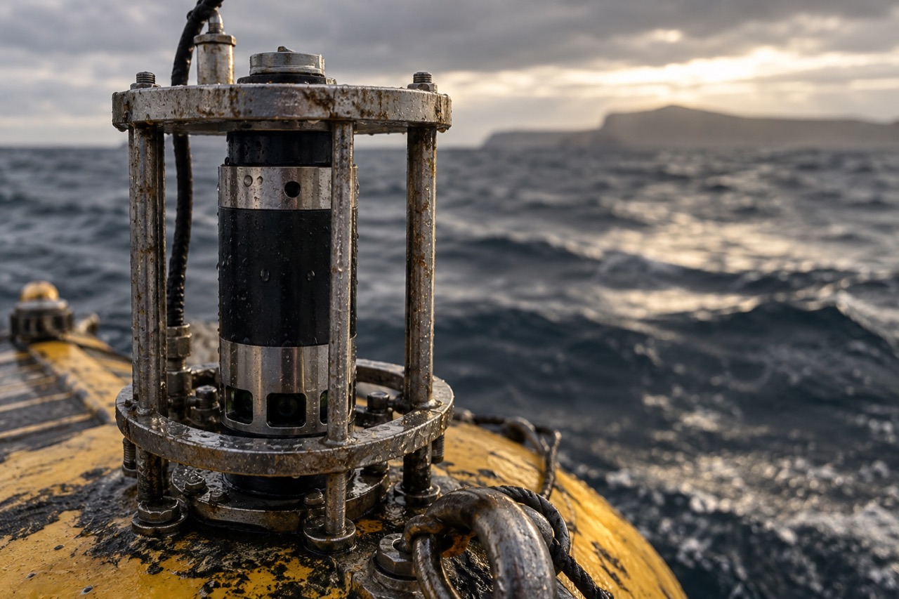
El Niño describes a coupled shift in tropical Pacific ocean temperatures and the atmosphere above them. Researchers read instruments across the ocean, including sea-surface and subsurface measurements, then combine those observations with models. A stronger event can raise the odds of familiar seasonal patterns. Local outcomes still depend on many other moving parts.
The important distinction is between a climate outlook and a weather warning. A seasonal outlook is useful for water managers, emergency planners, and anyone making long-range decisions. A flash-flood or severe-weather warning is a shorter-term, location-specific instruction. Confusing the two turns useful information into either panic or false reassurance.
Watch NOAA’s monthly ENSO discussion for the broad signal, then use your local National Weather Service forecast and alerts for action. A dramatic name like “super El Niño” is less useful than the actual probabilities, time frame, and local forecast.
Check the signal
Conditions and guidance can change after publication. Consult these primary sources for current information:
The signal continues
These reports are part of the Indrid Coald world. Listen to the music, watch the transmissions, or explore the art behind it.